 Then I saw five or six other good sized, very decrepit, smeared out mounds. Do I know these are rectangular mounds with hollows? Not really but consider. Here is an outline, suggesting a small pile with a hollow:
 and here are some rectangles:

 (see a hollow? see the rectangle?)
Mostly these were totaly submerged in the cinnamon ferns.
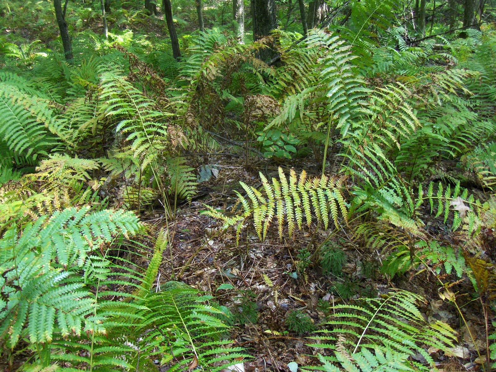 Here is a view down the gully:
 Perhaps the most interesting thing about this small collection of mounds was the the causeway crossing the gully in the center of the collection. This is about 2 tractor widths across.
 Here, in the middle and going up to the left, we see rocks along one edge of the causeway. The other edge is to the upper right in the photo.
It is hard for me to believe this causeway just happens to exist in the same spot as the mounds but independently from them. These were the only structures I saw in miles of woods, so I think the causeway is related to the mounds. But, believing as I do that the mounds are prehistoric, this kind of implies the causeway is also. I have a hard time with that as well. So it is all confusing.
No comments :
Post a Comment